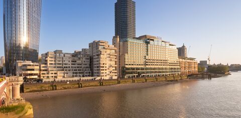
South Bank Walks: Travel & transport south of the river
Explore South Bank's history of rail, road and water connectivity on this guided walking tour.

Explore South Bank's history of rail, road and water connectivity on this guided walking tour.
The walk starts at 11am and lasts approximately 1.5hours.
14 Dec - 14 Dec 2024
Explore South Bank's unique history of transport and travel with professional tour guide Alison Rae.
Although today the area is best known for the Waterloo Station rail terminus, for centuries north Lambeth and the South Bank of the river was associated with water-based activity, including boat-building, wharves and warehousing.
Thames-side commerce placed the South Bank in the heart of the capital, equidistant by water to Westminster and the City, making this an early transport hub and interchange. In his famous diaries, Samuel Pepys records crossing Lambeth Marsh in 1665, travelling from the City of London to Whitehall.
Taking in unusual landmarks and forgotten sites, this walk reveals the past and present road, rail and maritime links that have shaped how South Bank's position as a key London transport hub has developed and evolved.
* The walk lasts 1.5 hours covering approximately 2.4km
Meeting Point: The walk sets off from Rennie Garden (pocket park next to Blackfriars Bridge, opposite Doggetts Coat & Badge pub)